3D Earth
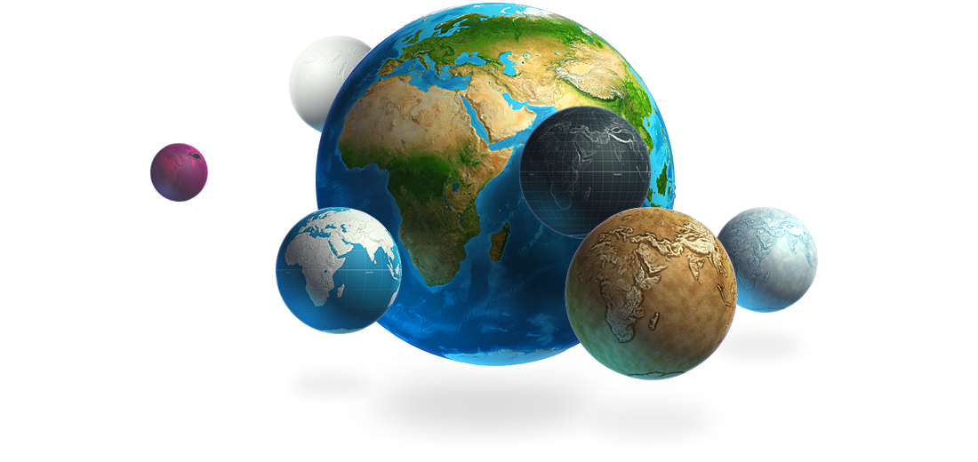
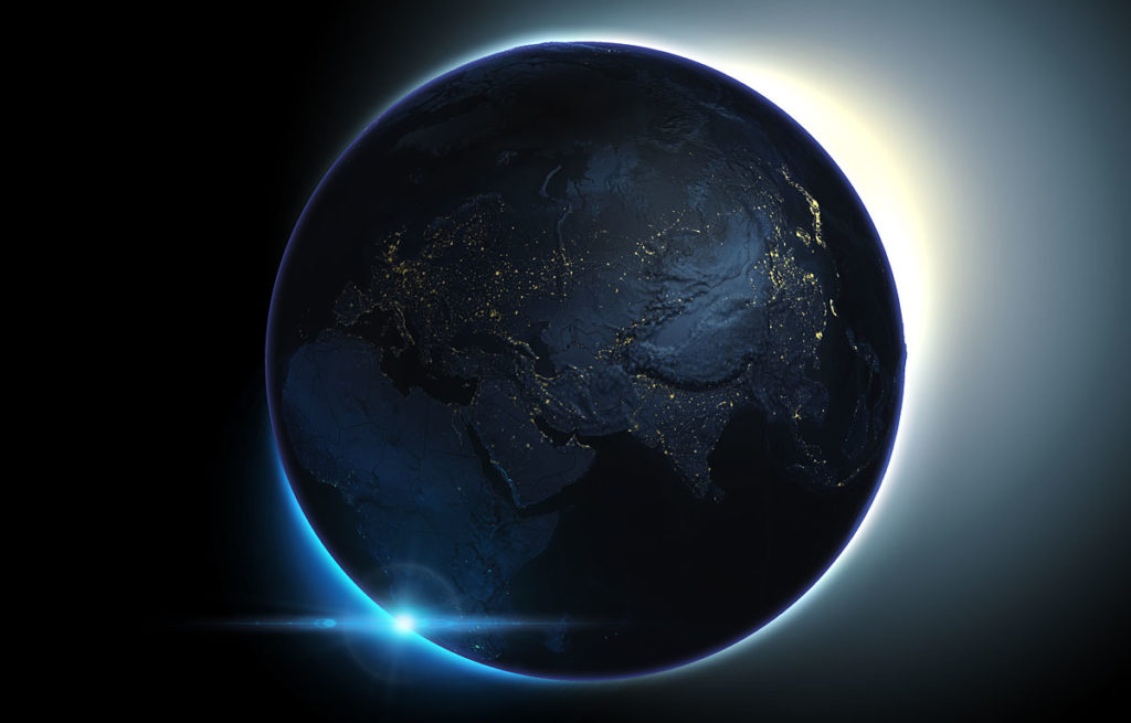
The 3D Earth is a 2200 px sized, high resolution 3D model of the earth with real heights and geographical correct textures and data. It can be rotated in every position and is fully editable. Turn it, modify the light and use the integrated textures to change the surface. The additional textures and elements can be turned on and off easily and will be transferred to the globe surface automatically. The additional textures are: clouds, continents shape, boundaries, equator and night view with city lights.
Almost every tool of the plug-in (except Map Height, Map Dimension and Reset Light) can be used with the 3D Earth: Rotate it in 8 steps with 45° at a time around the own axis. Use the Gradients Presets, Textures and Auto-Textures to design your own surfaces and new illustrations of the earth. Of course it is also possible to use the Grid Tool (e.g. 200 or 400px Grid) or the Contour Lines Tool. A suitable background will make the 3D Earth a real eye-catcher. You can create a new 3D Earth as often as you want.